Study maps the human side of flood risk
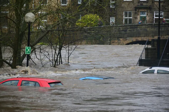
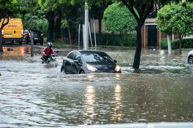
A University of Hamburg-led study maps urban flood risk building by building, combining hazard, exposure and social vulnerability such as age, income and education. It finds flood-prone areas do not always match the most socially vulnerable ones, and the freely available data can support adaptation planning in other cities.
— via Phys.org